Our solutions optimise systems for field service management, route planning, CRM, ERP, SCM and transport management in many application areas.
We thus create more efficient, data protection-compliant and sustainable business processes.
Mobile and in the cloud.
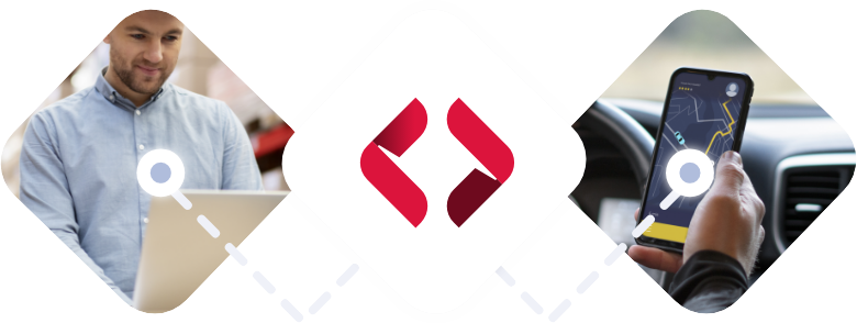
Localion Navigator
The mobile navigation solution for professional users that quickly leads to the destination.
The Localion Navigator takes emergency services and employees on the best route - even off the public roads - to their destination. Enhanced with content and functions around your business process - iOS and Android, offline and online, ready for data-driven business.
Our web services improve the efficiency, sustainability and service quality of the fleet and staff.
Because the Localion Cloud knows the future, appointments and plans are kept despite chaos on and off the road. Finally, stops, assignments and visit appointments can be planned and billed with valid forecast data - in line with data protection, industry-specific and with attractive flat-rate rates.
We solve your problem. That is our claim. This applies from the initial consultation, through implementation and integration, to operation. We are there for you. Our goal: your absolute trust in our products and our performance.
Attractive price models for your application
Whether you want to integrate our solutions into your products or use them as part of your corporate solution - we guarantee attractive and, above all, transparent price models. transparent price models. transparent pricing models.
Data protection and security
Data protection and especially German data protection place high demands on implementation and infrastructure. That is why we use German cloud providers. To be on the safe side when it comes to security, the entire Localion infrastructure can also be optionally operated in a private cloud.
The right solution for every industry
We know that excellence only comes where our solutions optimally meet the requirements of your industry and business model.
Forestry and wood
As the market leader for navigation in the forestry and timber sector, we have been active since 2004 and support all actors in the timber logistics chain in vehicles. Our Localion Cloud solution optimises the timber logistics of timber processors as well as forestry companies at headquarters.
Our focus is on optimal field force management during regular operation and in the event of an incident. On the mobile side, the Localion Navigator supports the guidance to the site with integrated resources. In the backend, the Localion Cloud optimises the FSM systems. Security and data protection built in.
Uninterrupted guidance on public and non-public routes thanks to our Deutschland+ map. Maximum adaptability for specific BOS requirements. We ensure safety and efficiency in operation.
We optimise route planning and transport management. Either through the Localion Navigator with truck option or through the use of the Localion Cloud as a reliable source for exact driving times and ETAs, especially on the last mile.
We deliver location tech for companies in the micro-mobility sector through to long-distance transport companies. Our solutions support the crucial step towards fully automated planning combined with a maximum positive customer experience.
The front door of consumers and businesses has become the world's largest transshipment point. We deliver the solutions for highly efficient logistics combined with the best service experience.
Whether testing, acceptance, maintenance or repair. We deliver solutions to deploy the rare and often highly qualified employees without frustration and highly efficiently. The ROI is usually achieved within a few months. Promised.
When patient data is processed, data protection is at the forefront. This concerns the outpatient care service, delivery services but also other service providers and service providers. We ensure that the processing of location data complies with European and German data protection.
We are partners for software providers. Location tech is complex. We know about it. We know the challenge behind a simple-sounding customer or product requirement. We make it easy for them to decide whether to make or buy. Fair conditions and our ability to deliver competitive advantages quickly and directly into the product, together with your developers, have been proven many times.
"After upgrading to the Localion Cloud solution, we saw that users were much less likely to lock activities because the drive time estimates were realistic. This enabled FSM to optimise a larger percentage of our jobs, which has added 15 minutes of billed time/revenue per technician each day and has reduced our average miles per trip by 10 miles."
Blane Beebe
Senior Manager Patterson Dental
Because numbers sometimes speak louder than words...